Thirteen SBDs


Local Name:

Thirteen SBDs

Depth:

Unknown.

Anchoring:

As you'll find to be true for most of the Roi-Namur wrecks, I do not have enough experience diving the Roi-Namur wrecks to provide any hints here. I hope to consult with the local divers and provide better information shortly.

Location:

Latitude Longitude
Degrees Minutes Seconds Degrees Minutes Seconds
9 20 54.180 167 26 17.340
9 20.90300 --------- 167 26.28900 ---------
9.34838 --------- --------- 167.43815 --------- ---------

Notes:

I believe the information provided here to be reasonably accurate, but I have been unable to personally confirm this data as yet. I hope to have more information on the Roi-Namur wrecks soon. If any Roi-Namur divers would like to provide any comments or subit any photos, your help would be greatly appreciated!

Photos:

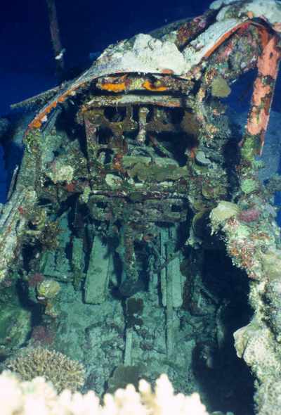
The cockpit of one of the many SBDs found in this general area.
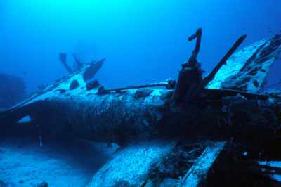
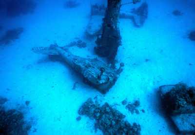
An inverted SBD. Note the tailhook.
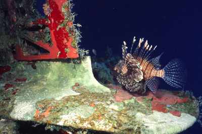
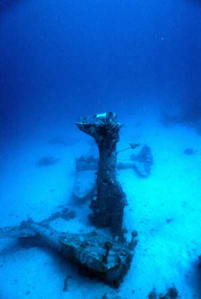
We found a couple of these guys on the planes. Right now I'm not exactly sure how the orientation should be. I almost think this plane might have been on its' nose and I should probably rotate this 90 degrees counter clockwise, but it works either way!
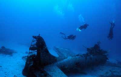
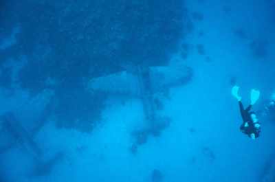
Here's Linda Fluke (left) and Blain Slatton (right) going from one SBD (foreground) to another (background). These planes are just laying around everywhere and you just hip-hop between them!
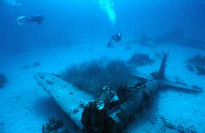
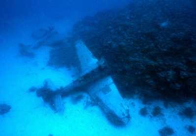
When we anchored at this site we were just south of the little coral knoll that these two planes are resting on. The series of planes seemed to more-or-less start right around this coral knoll on the west and heads out eastward.
Here's Blain Slatton (left), Linda Fluke (center) and Hal Parker (right - inverted) checking out one of the many plaes here!
Another example of what this area looks like with planes just laying around everywhere!
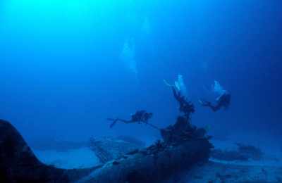
Blain, Linda and Hal again.
More planes...
The visibility was great the day we were there. I was heading up for my safety stop and Linda Fluke was between me and the planes that are resting on the bottom of the little coral knoll.
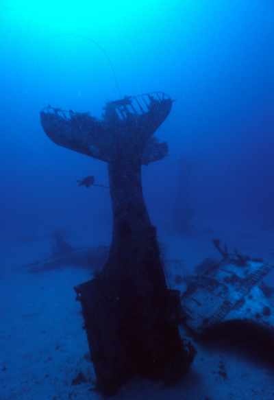
One of the nosed in planes with a few others laying around nearby.
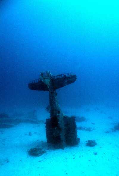
Another nosed in plane.

Nearby Attractions:


A few words of caution are due here!

While I believe that this data is fairly accurate, one must apply some common sense when using this data. If the point of origin is a coral head, you may have anchored at a slightly different spot than I did and your bearing to the next attraction could be slightly different than mine. I suggest checking with your own GPS before rolling in!

Also, know roughly how fast you swim so that you know approximately how long it should take to reach the next attraction. You can (and likely will) miss things from time-to-time and you should know when to abort and turn around before you are too far from your boat.

I strongly urge you to try the shorter swims first and build your navigation skills. I have set the cutoff distance for this table to 750 feet, but that is a considerable challenge even for the best navigators. An error of more than a few degrees in poor visibility and you can easily miss your destination at the extreme ranges!

From: Thirteen SBDs
AttractionDistance (feet)Bearing (deg mag)
C46 677 66


Go to Map Page for This General Area

Go to Map Based Wreck Directory

Go to List Based Wreck Directory

Go to Wreck Page

Go to Scuba Diving Page

Go to Dave Fortin's Homepage

Send e-mail to Dave Fortin


This page has been accessed 1101 times.

Created by Dave Fortin

Fri Sep 10 08:48:00 UTC 2010