C46


Local Name:

C46

Depth:

Unknown.

Anchoring:

As you'll find to be true for most of the Roi-Namur wrecks, I do not have enough experience diving the Roi-Namur wrecks to provide any hints here. I hope to consult with the local divers and provide better information shortly.

Location:

Latitude Longitude
Degrees Minutes Seconds Degrees Minutes Seconds
9 20 55.980 167 26 23.880
9 20.93300 --------- 167 26.39800 ---------
9.34888 --------- --------- 167.43996 --------- ---------

Notes:

I believe the information provided here to be reasonably accurate, but I have been unable to personally confirm this data as yet. I hope to have more information on the Roi-Namur wrecks soon. If any Roi-Namur divers would like to provide any comments or subit any photos, your help would be greatly appreciated!

Photos:

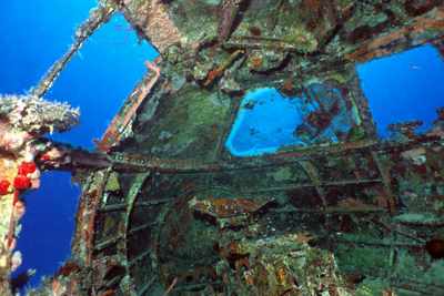
Interrior shot of the C-46 cockpit. Notice that the co-pilot's window is clear and the pilot's window is overgrown with growth.
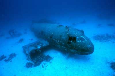
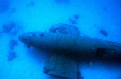
A view of the plane from the front. Notice that the wings and tail have been removed.
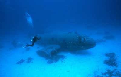
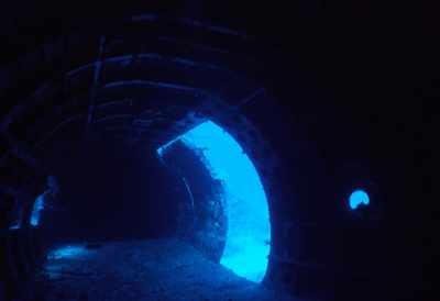
Here's Hal Parker getting some photos!
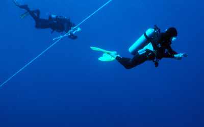
Hal Parker and Linda Fluke on the safety stop. Linda has a digital camera and reviews her photos while hanging out at 15 feet. I have to wait a month for my slides to be developed!
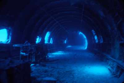
Here's a view looking through the door in the cockpit and into the cargo hold towards the tail of the plane.
Looking out through the cargo door on the port side of the plane towards the tail.
A shot from above.
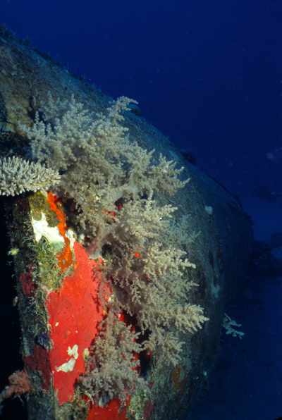
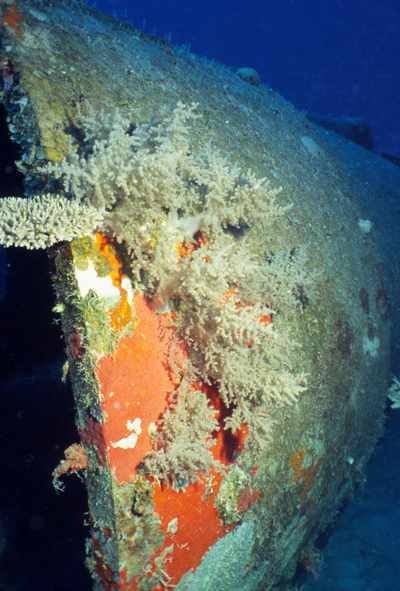
This shot shows some nice soft coral growing on the cargo door that is on the port side of the plane towards the tail.
Just a slightly differnet view of the soft coral on the cargo door.
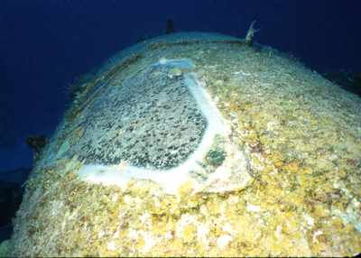
Another view from above. You can see the cargo door and the tail where the vertical stabilizer has been removed.
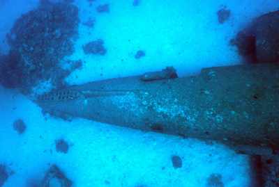
Looking that the nose of the plane we see the co-pilot's windscreen is cleared off. I wonder who scrapped this clenan and why.
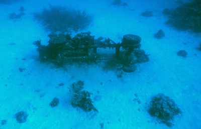
Here's one of the truck chassis that you'll find between here and the B-25.

Nearby Attractions:


A few words of caution are due here!

While I believe that this data is fairly accurate, one must apply some common sense when using this data. If the point of origin is a coral head, you may have anchored at a slightly different spot than I did and your bearing to the next attraction could be slightly different than mine. I suggest checking with your own GPS before rolling in!

Also, know roughly how fast you swim so that you know approximately how long it should take to reach the next attraction. You can (and likely will) miss things from time-to-time and you should know when to abort and turn around before you are too far from your boat.

I strongly urge you to try the shorter swims first and build your navigation skills. I have set the cutoff distance for this table to 750 feet, but that is a considerable challenge even for the best navigators. An error of more than a few degrees in poor visibility and you can easily miss your destination at the extreme ranges!

From: C46
AttractionDistance (feet)Bearing (deg mag)
Thirteen SBDs 677 246
F4U Corsair 413 339
B-25(#1) 87 89
Avenger 231 59


Go to Map Page for This General Area

Go to Map Based Wreck Directory

Go to List Based Wreck Directory

Go to Wreck Page

Go to Scuba Diving Page

Go to Dave Fortin's Homepage

Send e-mail to Dave Fortin


This page has been accessed 1045 times.

Created by Dave Fortin

Fri Sep 10 08:22:11 UTC 2010