|
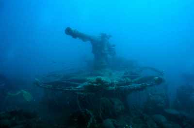
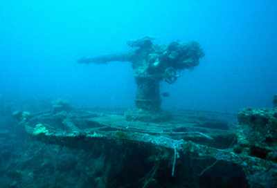
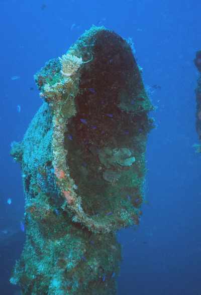
I like the bow guns on the upright wrecks! This gun is similar to the Asakaze Maru down near Kwajalein. I think I could photograph these guns all day! |
| Another angle on the bow gun. |
|
|
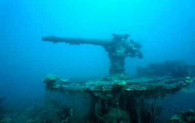
Now a shot of the gun from the back. You'll see another photo from approximately this same angle that is a closer shot of the crank that is located at the rear of the gun. |
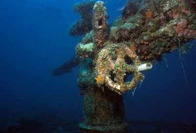
| And here's that close-up shot of the crank. You can still see the barrel of the gun in the background. |
|
|
Here's one of the funnels located on the ship. |
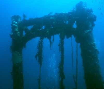
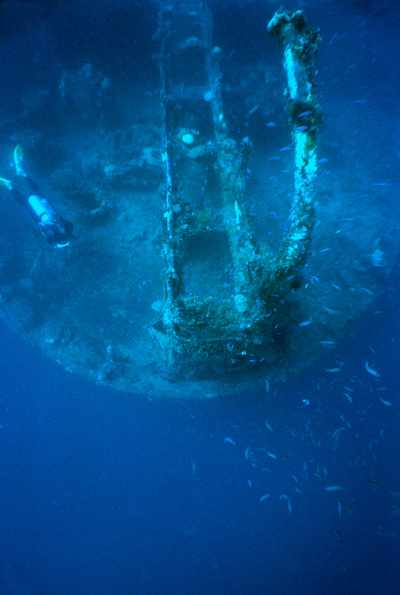
| Here's the kingposts with a diver's bubbles rising up between them! |
|
|
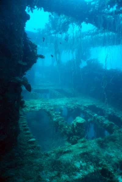
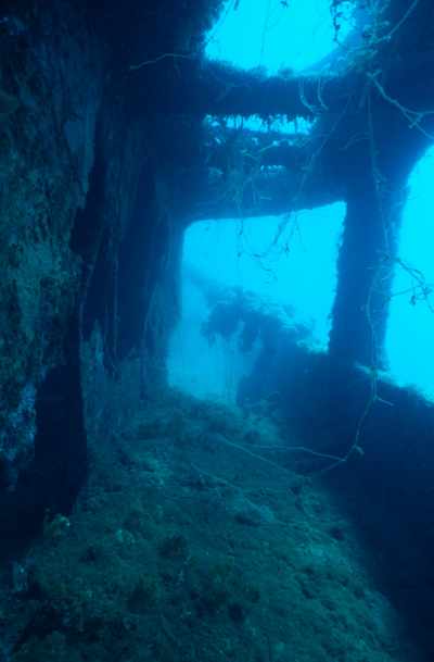
Here's a shot looking inside. You can see a lot of algae and growth hanging all over the wreck. We don't see this as much down on the southern end of the atoll. I wonder if it is beacuse those ships are perhaps dove more frequently and the divers distrupt the growth???? |
| Another view looking inside the ship. |
|
|
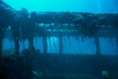
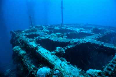
I like these shots that look across the tops of the steel beam structure. You can see the ends of the bolts sticking up in neat rows that once held the wooden planking in place. The wood is long gone, so we are left with a nice effect! |
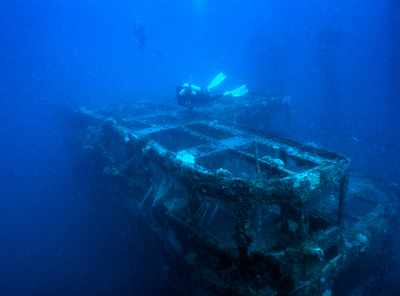
| Here's Linda Fluke checking out the wreck! |
|
|
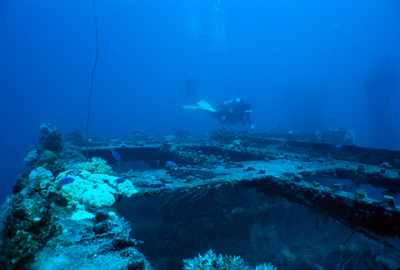
Here's Linda again. She's taking a minute to check her dive computer here. |
| Here's a shot down one of the walkways along the side of the ship. |
|

|
I wish I could remember exactly where I was when I took this, but as I looked in one room there were just this row of portholes on the far wall. I thought it might make an interesting photo. |
| Here's a view of the stern. Linda Fluke is in this shot as well. The rectangular looking piece down the center of the photo appears to have maybe been a walkway or something to that effect. Anyone have any thoughts on this? |
|


