|
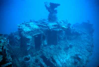
A view of the gun mount and bow taken from the starboard side. You can see a small room directly under and behind the gun platform. |
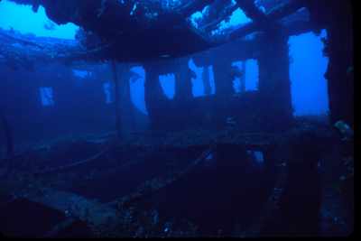
| A shot peering in one of the windows or doors on the port side. Note the sagging ceiling. |
|
|
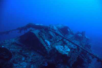
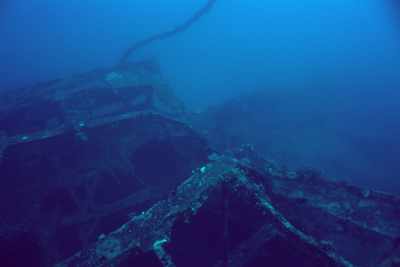
A communications cable runs over this wreck. I believe that it runs off to the N-NW. We see several wrecks with cables on, under or very near them. The Little Bustard LCM has a cable under it and Palawan has a cable going over the bow. Hamel Side has a cable running just off the end of the LCM. There is rumored to be an LCM north of N-Buoy coral head with a cable running over it. I suspect we are talking about the same cable. |
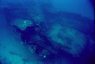
| This shot is taken from up near the bridge area on the starboard side facing towards the stern. You can clearly see the cable running over the top of the ship. As you swim out to the ship, of you are off a little bit you can usually see the cable sloping up towards the ship. Just follow the cable up! |
|
|
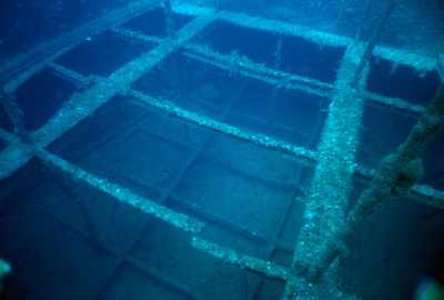
This shot is taken from the stern looking forward. You can just see the deck bending down in the bottom of the photo. This will be more obvious in other photos. This configuration is a bit different than we seen in many of the smaller ships. I don't recall any holds forward of the cabin area and this framework is certinly not quite like what is commonly seen here. Anyone have any ideas? |
| Another shot of the deck, but this time looking towards the stern. Whatever was supporting the deck must have been blown away and now the deck has bent down towards the keel. |
|
|
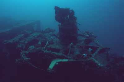
The ship once had a bow gun. What happens to all these guns? Many of them are missing. Do they tumble off during sinking? Have they been recovered? |
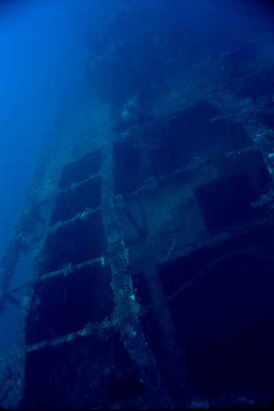
| Another shot looking down into the ship showing the metal framework. |
|
|
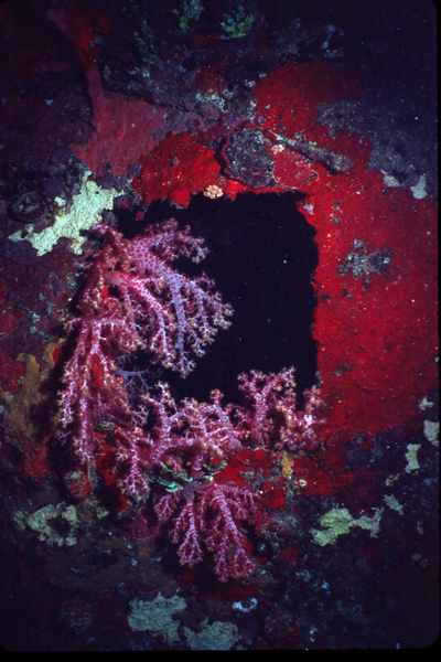
This soft coral can be found on many of the windows. I seem to remember it only on the port side, but that's not to say it isn't elsewhere. |
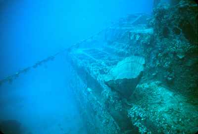
| Here's a shot of the stern of the ship. We can see where the deck suddenly drops down. The entire stern is pretty much blown away down to the waterline. It seems clear that when this ship was attacked that it must have had munitions in the stern that were hit causing such extensive damage. |
|


