Ebeye Mavis #2


Local Name:

Ebeye Mavis #2

Depth:

Depth is about 70 feet.

Anchoring:

I found this wreck some years back. We anchored north of here a bit, went down over the drop and followed it south. If you are going to dive this, that is about the only way to do it. You'll find that this is VERY clsoe to the Ebeye pier and probably not the safest place to be!

Location:

Latitude Longitude
Degrees Minutes Seconds Degrees Minutes Seconds
8 46 51.780 167 44 4.860
8 46.86300 --------- 167 44.08100 ---------
8.78105 --------- --------- 167.73468 --------- ---------

Notes:

This wrecks is just a heap of junk. It is in really poor condition. If you really want to dive a Japanese Mavis, I'd try "Ebeye Mavis #1" first which is a bit furthere north, more intact and a bit safer placeto be. Also, this area is VERY littered.

Photos:

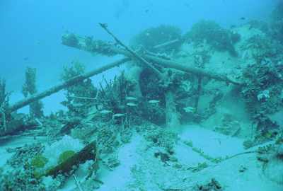
Pardon the poor photo, but this was in my very early days with the camera and it is unlikely that I will go back here often, so I'll include what I have. This pretty much says it all about this wreck. It is just a big pile of junk!
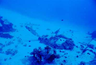
Another poor photo, but here's an engine and prop half buried in the sand.
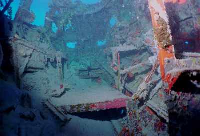
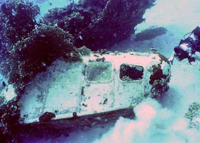
The nose was perhaps the most intact piece of the plane. The rear of the nose was very open, so I was able to get a few shots inside.
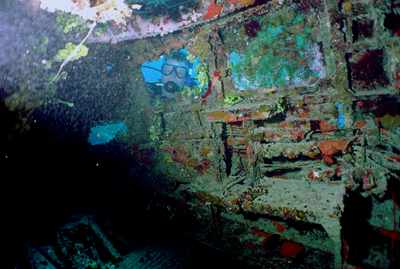
Here's Jerry Mills looking in the window.
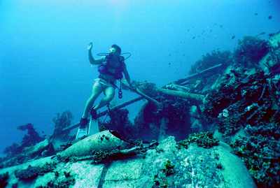
There was a time when Dave Sansone was very active in diving. Dave helped get me started in diving all the wrecks. Dave used to take video (as hopefully you can see in the photo). He had experienced some camera problems, then the housing cracked, so I think this is perhps one of the last few dives that he had with the video.
Here's Robert Struppeck in amongst the rubble.
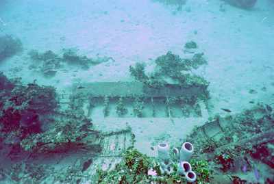
Part of a wing is laying in the sand.

Nearby Attractions:


A few words of caution are due here!

While I believe that this data is fairly accurate, one must apply some common sense when using this data. If the point of origin is a coral head, you may have anchored at a slightly different spot than I did and your bearing to the next attraction could be slightly different than mine. I suggest checking with your own GPS before rolling in!

Also, know roughly how fast you swim so that you know approximately how long it should take to reach the next attraction. You can (and likely will) miss things from time-to-time and you should know when to abort and turn around before you are too far from your boat.

I strongly urge you to try the shorter swims first and build your navigation skills. I have set the cutoff distance for this table to 750 feet, but that is a considerable challenge even for the best navigators. An error of more than a few degrees in poor visibility and you can easily miss your destination at the extreme ranges!

From: Ebeye Mavis #2
AttractionDistance (feet)Bearing (deg mag)
Ebeye Pier LCU 643 151


Go to Map Page for This General Area

Go to Map Based Wreck Directory

Go to List Based Wreck Directory

Go to Wreck Page

Go to Scuba Diving Page

Go to Dave Fortin's Homepage

Send e-mail to Dave Fortin


This page has been accessed 1078 times.

Created by Dave Fortin

Fri Sep 10 07:28:24 UTC 2010