|
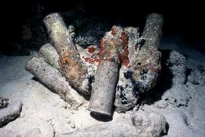
Here's a sample of some of the LIVE ammunition that is at the base of the dropoff just east of the ship. Treat these with the respect they deserve (In other words: look, don't touch!). |
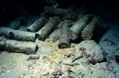
| Just more of the ammo pile. |
|
|
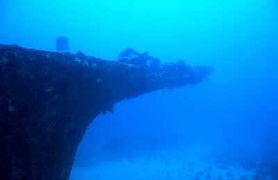
This view is taken from the starboard side of the ship looking roughly NW. What you can't quite see in the photo is a large anchor just beyond the bow. If you went in the direction the camera is facing you will easily find it. Under average visibility you can see the anchor and the ship at the same time, so it is not far. |
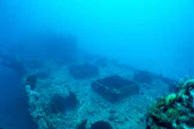
| Here we see the holds. This ship is very similar to Huff Maru in that it has rectangular hatches down the middle with round hatches on either side of them. |
|
|
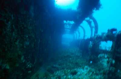
Another shot where we have something in common with Huff Maru. We have virtually the same shot on that wreck, except this particular shot is taken down the port side of the ship. At one time this ship was resting on its starboard side and most of this framework is destroyed/missing on that side. |
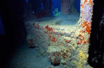
| This is a pretty common site on ships of this type. This appears to be the galley. You'll typically find a similar setup on ships like Huff Maru, Phantom, Parker/Wallace Maru etc. Seems to typically be in the back of the cabin area on most of these small ships. |
|
|
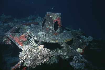
I wonder where the gun went??? There is some debris off the starboard side of the ship. One piece looks like it might be part of the gun, but I haven't examined it all that closely. Anyone have any thoughts on this? |
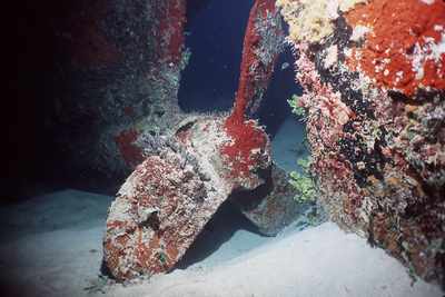
| I was rather happy with this shot. This is a prime example of what a strobe can do for your photo. This is not nearly as pretty in person! This shot was taken at night with a strobe. I got real luck and had very minimal backscatter and the sponge lit up nicely. |
|
|
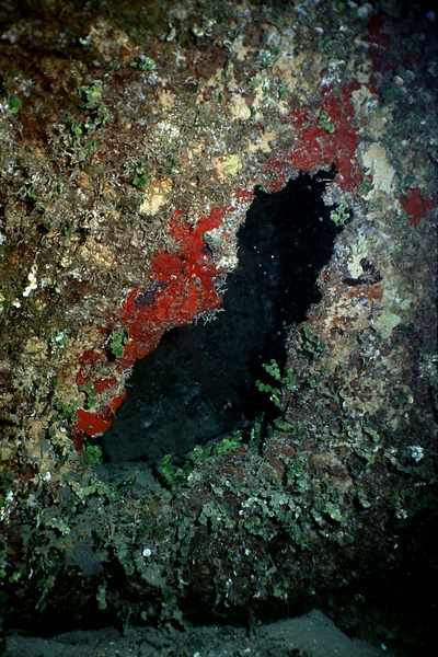
Here's the hole in the hull that I mentioned above. It is on the port side in one of the forward holds. |


