|
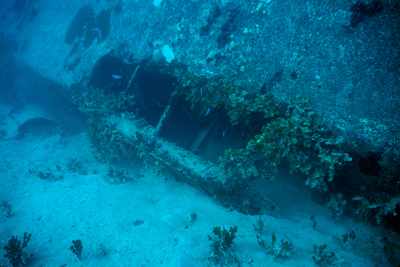
As you can see from this photo, the fuselage is resting upside-down. The cockpit is easily viewed through these large windows. |
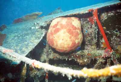
| I have been to this wreck several times and I have pictures taken years apart, but in this same general area with, what appears to be, this same cushin star. Here he is lodged in the wing. As I took this photo I disturbed a shark that was hiding under the wing. |
|
|
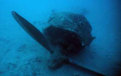
This prop/engine is slightly behind the wreck (towards shore). |
| The day that I took this the water was exceptionally clear. The wreck is down around 70-90 feet, but from less than 20 feet the wreck was clearly visable. the bow is to the left. The old mooring line runs off the bottom of the photo. Earlier wreck books reported the mooring float still floating at about 50 feet. It has now sunk and rests on the bottom. You'll note no wing wreckage above the fuselage. I have only seen one wing. I wonder what happened to the other??? |
|

|
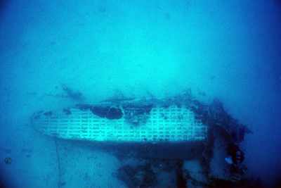
A shot of the bow of the flying boat. |
| While not the most interesting photo, I include it merely to show damage to the hull of the flying boat. I half suspect that this has been caused by ships anchoring in the area over the years. This wreck is directly out from the Ebeye fuel storage tank. It also makes me wonder if perhaps the anchor from a fuel barge might have snagged the other wing and drug it off. Any divers out there know if there used to be another wing here? |
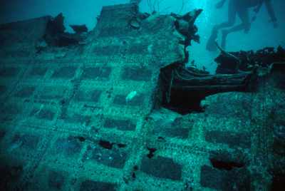
|
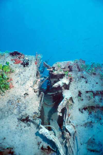
|
Another gash in the hull. Again, is this post war? |
| This door was at the rear of what's left of the fuselage. I honestly forget the orientation, so I may have this rotated incorrectly. On our last visit I did not find the door. It may be around, but by the time I got around to this area we were about out of time and I could not spend a lot of time here. |
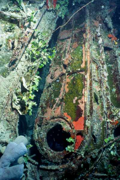
|
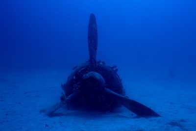
|
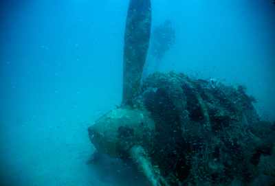
I keep working at getting that perfect shot of this engine/prop, but I'm still not quite happy. With available light, as seen here, it is not too bad. When a strobe (flash) is used you see a lot of color in the various sponges and marine growth on the engine, prop and cowling. However, the generally murky water tends to create a lot of backscatter, so I'll just have to keep trying for a strobe shot that I feel good enough about to present. |
| Another shot of that same engine/prop as before. It has been my experience that this engine/prop is just out of sight from the main wreckage. If you are on the side of the fuselage with the wing, just head out off thenose of the plane and you'll find it just slighty ahead of the plane. |
|
|
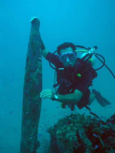
Here's Bob Burt with the prop. I didn't quite get enough of the colors in the sponges. Anyone care to go back for another photo shoot? |