|
I found this a few years back while poking around on the wreck. I piece of metal was sticking out of the sand and I pulled it out. Once the dust settled I had a little surprise! Point being to be careful on these wrecks! They were used in war time and many of them still have live ammunition on them! You can probably find this off the port side of the ship towards the bow unless someone or the weather has moved it. |
| More ammo. |
|
|
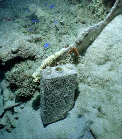
There are several of these batteries laying around. These are very similar to the batteries that we see on the CHAs. I suspect they were a standard marine battery of the time. |
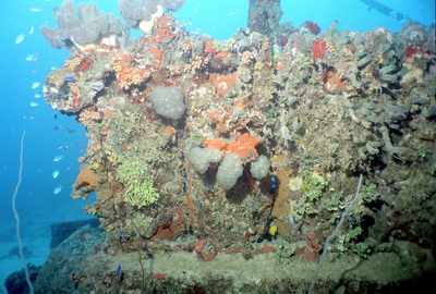
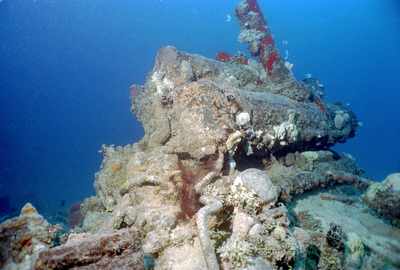
| Here's a shot from the lagoon side (port) of the wreck of the engine. When the strobe is used it is actually fairly colorful! The other side is practically void of growth by comparison |
|
|
And here's the starboard side of the engine taken from the stern. |
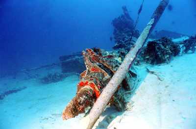
| This shot gives you a little feel for what to expect to see while swimming out to the wreck. As you can see, the prop is missi. The pipe to the right of the prop shaft is from a lift tube operation that someone had setup. The engine sticks up in the background and the fuel tanks can be seen lying to the left in the sand. |
|
|
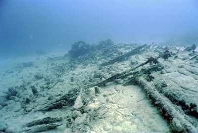
This shot is taken from just forward of the engine looking towards the bow (to the north). This is all that remains of the wooden hull. It is covered with a layer of rock that I believe served as ballast. |
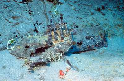
| You can find many electrical wires in the area. I don't think these were actually attached to any of the wires, but I found these two little electrical panels in the sand near the fuel tanks some years back. I laid them up against the fuel tanks and they seem to more-or-less stay put. You can see the electrical knife switches on one of the panels. |
|


